
 NEW!! Free UK Delivery
 Hassle-Free Returns
 Great Advice
 Clearpay


Welcome to my first blog post for Simply Hike. I will be writing a monthly post with a view to tying it into the seasons in the mountains or current mountain news. I want to kick off with an article on incident avoidance to help you avoid ever having to call Mountain Rescue. With the clocks having recently gone back our days in the mountains are shorter and we want to be able to make the most of them!
This article will give you an overview on several topics which I will then expand on in future posts to look at each of them in more detail and give you some top tips and advice to enjoy the mountains safely.
Mountain Navigation
Most of us are used to navigating our way using the sat nav in the car, Google Maps on our phone or perhaps an atlas or street map. The key concepts that we use in our every day lives in an urban environment remain the same in the mountains. The big differences are that we often face challenging weather and conditions in the mountains and the consequences of making a mistake can be much more serious.
The ability to use a proper mountain map, such as those made by Ordnance Survey or Harveys, in combination with a compass is a valuable and important skill. I am a volunteer with Llanberis Mountain Rescue Team, one of the busiest teams in the UK, and a common cause of the incidents that we are called out to is a navigation error that has caused people to stray off a path onto more serious ground and become lost or injured.

Some of the key skills that you want to get a grasp of are route planning, relating map to ground, being able to identify features from the map, be able to interpret contours, use a compass and follow your intended route in any weather or level of visibility. The weather changes extremely quickly in the mountains and your skills need to be able to adapt too.
It's worth leaving a note of your plans with someone at home. You can use mapping software and print off a copy of the route for them. Otherwise you can use tracing paper or a photocopy of the map or simply a written description of the route you will take. Try and include a couple of different options to allow for different weather conditions so that you are not tied into a fixed plan.
Give them an idea of the time that you are likely to finish and the “absolute cut off time” and clear instructions of what they should do if they haven’t heard from you by that time.
Investing in a GPS unit will give you the extra peace of mind of being able to always answer the question “where am I now” and will be a great supplement to your map and compass.
Basic Kit
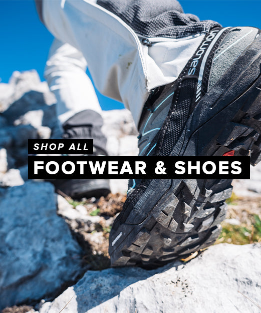
Here is an example of a kit list that I suggest to people heading out into the hills in summer conditions: Rucksack – 30 to 40 litres Waterproof jacket - even on a day that starts off dry the weather can rapidly change Waterproof trousers Head Torch & spare batteries and bulb - in case your plan takes longer than expected or an injury cases a delay Walking Boots and Socks - good boots and socks will help prevent injuries make the walk a more pleasurable experience Drink Lunch Hat and Gloves 1 x spare gloves 1 x spare warm layer Spare food Personal First Aid & sanitary supplies Sunglasses and Sun Block Compass - I recommend a Silva Type 4 Map of the area A group shelter and emergency blizzard packYour kit needs to allow you to be self sufficient, whatever the mountain throws at you. Some of the most common incidents that Mountain Rescue teams attend are the simple slip that causes an ankle or lower leg injury. Good quality kit can help prevent accidents like this (with good supportive boots with a good tread on the sole) and can also be invaluable in keeping you warm whilst waiting for help to arrive in the instance you have had to call for assistance. You should aim to carry enough warm layers to sit still for a couple of hours if you needed to as thats how long it can take for help to get to you. You can be pretty sure that your kit will get wet and rucksacks are not waterproof so put it in drybags. I like a range of sizes, say one for hats and gloves, another for first aid etc rather than one big bag that will get wet inside when I open it in the rain.

Mountain Weather
The mountains create their own weather. You can get mountain specific forecasts from the Met Office and MWIS and these should form the basis of your plans for a mountain day. The daily weather forecast is the biggest influence on any of my days out in the mountains and the thing that I am most interested in is the wind.
Wind speeds will often be 3 times that of the valley once you are on the summits. If its 20 mph in the valleys you will barely notice the wind when you get out of the car but at 60mph on the summits you will barely be able to walk!
If the wind is forecast to be greater than 30mph then avoid any narrow ridges that you could get blown from. If it is forecast to be greater than 50mph then you may want to avoid summits altogether, or at least plan a route that uses the lee of the mountain as much as possible.
The other big difference between the valley and the mountains is the temperatures. On a clear day the temperature will drop by 1 degree for every 100 metres of height gain. That can mean that it is 14 degrees colder on the summit of the Ben than it is in Fort William. In winter I need to know where the freezing level is so that I can pack axes and crampons if necessary and all year round I want to make sure I have enough warm clothing to deal with any weather.
Its also worth making a note of what time it gets dark so that you can plan to be off the hill in plenty of time. When it gets dark in the mountains it gets properly dark and you will need a torch to be able to keep walking off.

Calling for help
If you need to call for help in the mountains you should call 999 and ask for the Police and then Mountain Rescue. You can also pre-register your phone with the 999 service so that you can text for assistance, this has the advantage of needing less data in the event of a poor signal. Whether calling or texting your phone will patch through to any available network so its worth trying even if you have no signal.
Keep your phone on and try and have an accurate position as to where you are. If you are lost then the team will ask you to describe your location and then when team members are nearby you will be asked to make lots of noise. A whistle is handy for this as are a good pair of lungs! Don’t be afraid to ask for help from passing walkers - they might be able to save the team members a long walk.
Have fun

Get out and enjoy some of the most beautiful mountains in the world, they are right on our doorstep here in the UK! As you spend more time in the mountains your skills will progress and there is always another challenge, just at the end of the next valley.